A supercell thunderstorm spawns a series of tornadoes southwest of Wichita, Kansas. A rare tornado emergency was issued, but the city was spared.
Viola Kansas Tornadoes
A warm, moist air-mass was expected to pool along the dry-line across Kansas and Oklahoma with prospects of increased severe weather chances. Like the day before, a moderate risk was issued by the Storm Prediction Center. The tornado threat was moderate, but high precipitation (HP) supercells were expected that would evolve in clusters and lines. Any storms that could produce a tornado would quickly become rain-wrapped, so we had to jump on the first storm that developed.
Kansas Supercell Initiates
We targeted south-central Kansas about 30-50 miles southwest of Wichita. It didn't take long for storms to initiate around this area as the first storm went up near Norwich, Kansas. It had become quickly supercelluar around 3:00pm. A lowering was already taking place to our southwest as we drove closer to the storm. We took a dirt road north to get into position to observe.
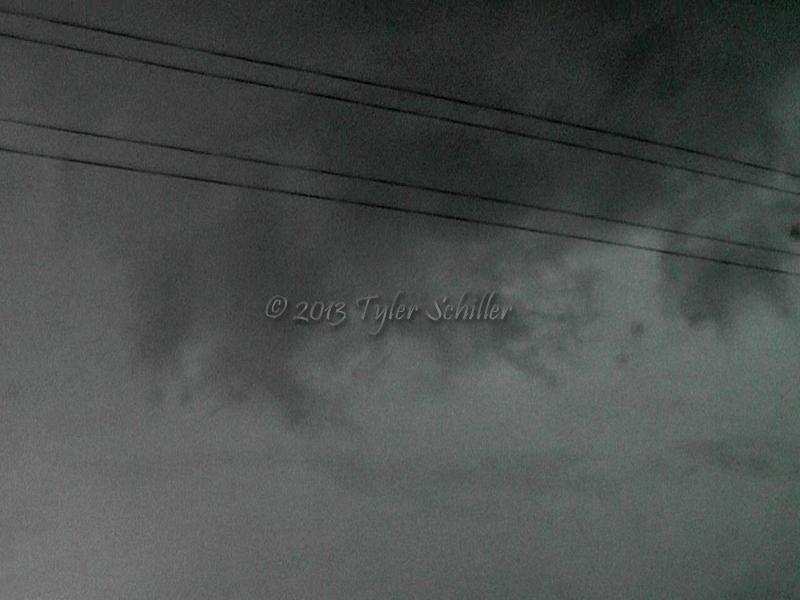
The wall cloud lurked in the distance and appeared to be small and somewhat ragged when we stopped to take some photos of it. We decided to drive east as the storm motion began to turn more to the right of its current path.
Two Tornadoes near Viola, Kansas
To our surprise, the storm produced the first tornado for about 2 minutes to our west. Debris was lifted in the air, but it had but quickly dissipated. We waited for the wall cloud to come closer to us and observed decent rotation near our position. We drove east to get ahead of it, while the mesocyclyone moved parallel the road we were on. Quickly, the storm produced the second tornado of the day southwest of us near Viola, Kansas. The twister had an appearance of a long snake appearance and lasted for about 5 minutes.
Tornado Emergency Issued for Wichita, Kansas
The storm started to transition into a HP supercell and the wall cloud became slightly larger and increased its rotation. We were next to it for a time and could see rotating rain-curtains in the field next to our vehicle while traveling east. I lost visual of the wall cloud for a moment, but the rain curtains continued to swirl and strong inflow had picked up causing our van to get pushed around. The mesocyclone passed to our northwest and eventually became wrapped in rain. At this point, a large rain-wrapped tornado had developed to our northwest but failed to have a visual. This led to the NWS Wichita Forecast Office to issue a Tornado Emergency for the city of Wichita. Wichita KSN news channel took shelter during live severe weather coverage due to the possible tornado heading towards the station.
Our thoughts were to drive north on I-35 to meet up with it, but we drove into nothing but heavy rain and wind-driven 1.00 - 1.50 inch hail. Thankfully the tornado dissipated and no major damage resulted. We left Kansas to target storms in Oklahoma that had produced large tornadoes near and east of the Oklahoma City metropolitan area. However, they had soon dissipated when we arrived.
Make sure to browse the chase logs section for additional Storm Chasing Fever Chasing Adventures.