|
Feb 11, 2014
15 years ago today, an unusual long line of severe thunderstorms raced across the southern parts of Wisconsin on February 11, 1999 thanks to a low pressure system that helped draw warm, moist air over the region. Around noon, a cluster of thunderstorms developed over the Mississippi River and quickly became severe. The Storm Prediction Center had issued a Severe Thunderstorm Watch for the potential for damaging winds. The storms moved east at over 50 mph.
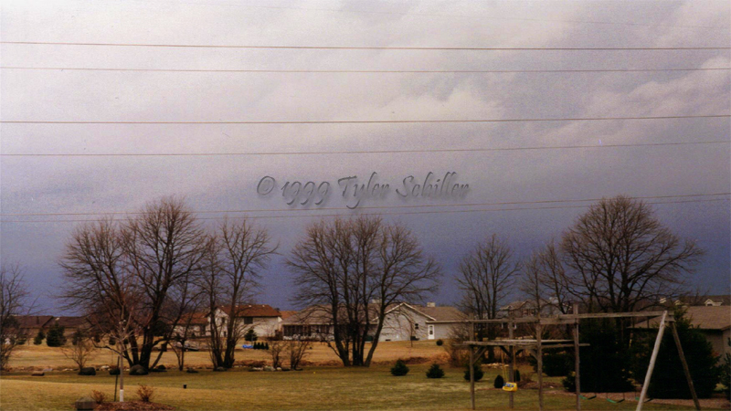
The storms continued to be severe as they made their arrival across the Milwaukee metropolitan area. I snapped a few photos when they approached. The lightning activity was minimal with little thunder. The damaging winds made an instant impact along with low visibility when the leading edge of the gust front moved over my location in Waukesha. A large trampoline in our neighbor's backyard became airborne. The storms packed a punch, but overall damage was minimal from these storms in large part due to the lack of leaves on the trees. This caused less stress for most of the plans in the area and weren't damaged.
These type of fast-moving storms that merge into a line during the winter and early spring can utilize the high amount of wind shear even if there is marginal instability. These storms most certainly did, some 15 years ago today.
Here is a radar animation showing how fast the storms were moving. The velocity data captured winds over 60 mph!
Make sure to browse the news section for additional U.S. and Wisconsin weather news information.
|
